Wigan Album
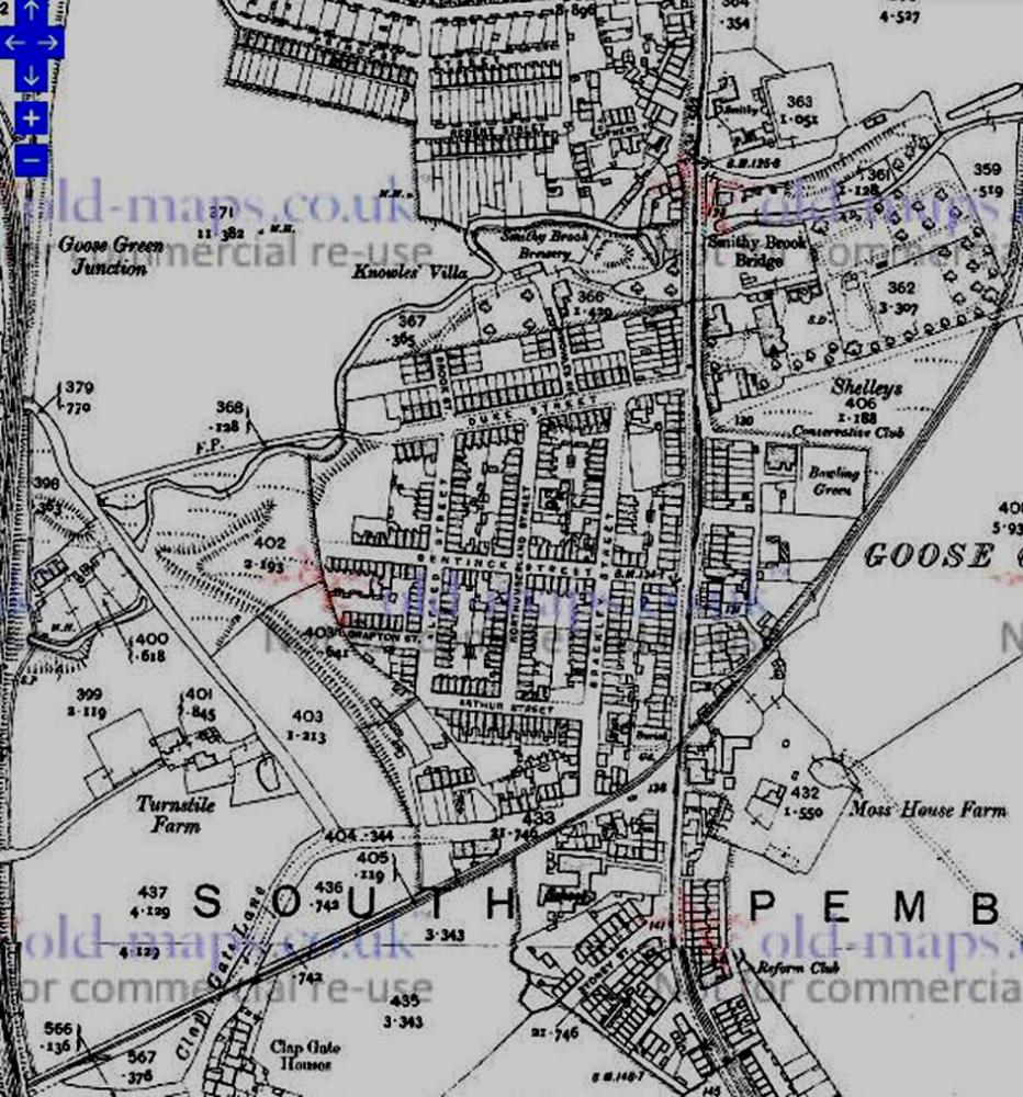
Goose Green
7 Comments
Photo: Keith Beckett
Item #: 30743
The mineral railway from Winstanley collieries and headed towards Wigan. It crossed Parsons Meadow, ran between the old bus depot on Melverley Street and the houses in Cudworth Street, Pottery Street and Letterewe Street. It finished up at Wigan Pier.
What was so significant about the small cemetery on the corner of Clap-Gate Lane, if there was any?. It seemed to be very old. On the redevelopment of the area, all the remains of the people interred there were removed. The whole cemetery was covered whilst the procedure took place. I do not know where the remains were re-interred.
I remember the old cemetery being boarded up prior to removal of the graves etc. It would have been 1965/66 ish.
The land noted as Shelleys is where St Pauls church now stands and the large building to the north of this would be what became St Margarets Home
The Wigan by-pass railway line is not shown on this section of the map,is it slightly to the north or was the line not yet constructed?
you can get a clearer version of the map here:- https://maps.nls.uk/view/126521309
Just close the 'copyright' notice window that appears with the 'X' in top rh corner then zoom and drag around to your hearts content :-)
Is the brewery (side of Smithy Brook) Elseys Vinegar, or was there another brewery there at the time?