Photos of Wigan
Photos of Wigan
Album Contents
Album Contents
Wigan Album
Scholes
No Comments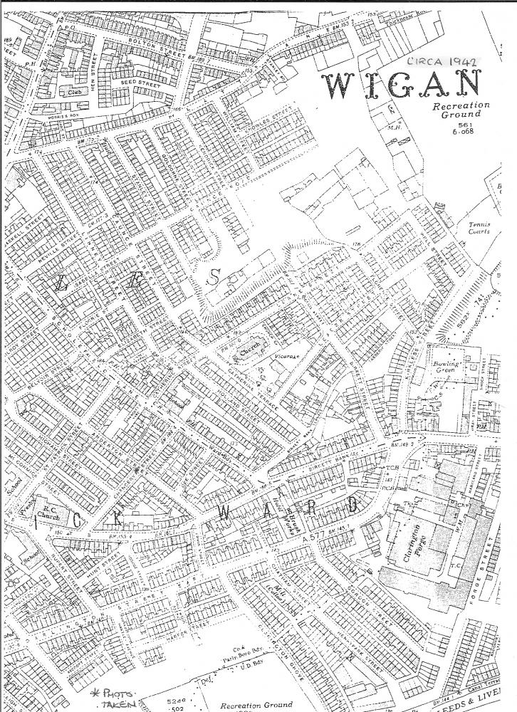
St Catharine's Area of Scholes Street Map circa 1942
Photo: John A Hankin
Photo: John A Hankin
Views: 3,223
Item #: 20564
Item #: 20564
The street map shows the area around St Catharine's Church Parish Scholes in about 1942 before the area was decimated in the late 1960s.
Leave a comment?