Wigan Album
Standish Lower Ground
7 Comments
Photo: Christine Reddington
Item #: 1847
I can't work out where the picture is taken from. Is the car headed towards Shevington?
yes maureen the car is headindg towards shevy, just to the left of the pic is the turning for crooke village
So is this where the planned road from M6 junction 27 would have passed over Wigan Road to connect with WoodHouse Drive?
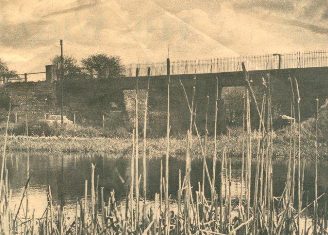
Sorry to contradict the previous poster but I think he is mistaking this stretch of water for the "Royal Oak Pond". The Red Bridge was further along the road past Butterrow and if this is a photo of the bridge, which I am not convinced, I would say it was taken from the area of Lawns Wood but the area is much more wooded now so it is difficult to be sure.
This was indeed The Red Bridge as it was known. I have travelled over this many times on the footplate of the trains which carried coal from John Pit to the barges in Crooke. It is taken from the opposite side of the road from where Mr DeRoma now lives at the foot of what we used to call "the rook". I have a newspaper cutting of the bridge just before it was demolished (sadly) taken from the opposite direction. We used to play on the railway line, jumping from sleeper to sleeper.
By the way Margaret, Royal Oak pond that you commented on was actually Ted Balls lodge. I have no idea how it got its name. On the other side of the Royal Oak was a bowling green.
Ted Balls Lodge, was named sfter Ted Balls Brewery, on the canal bank behind the Royal Oak. Just past the toll lock (Bootles) heading towards Wigan, was the "Glassworks", a bottle works where most of the kids from SLG (including me) learned to swim