Wigan Album
Lower Ince
10 Comments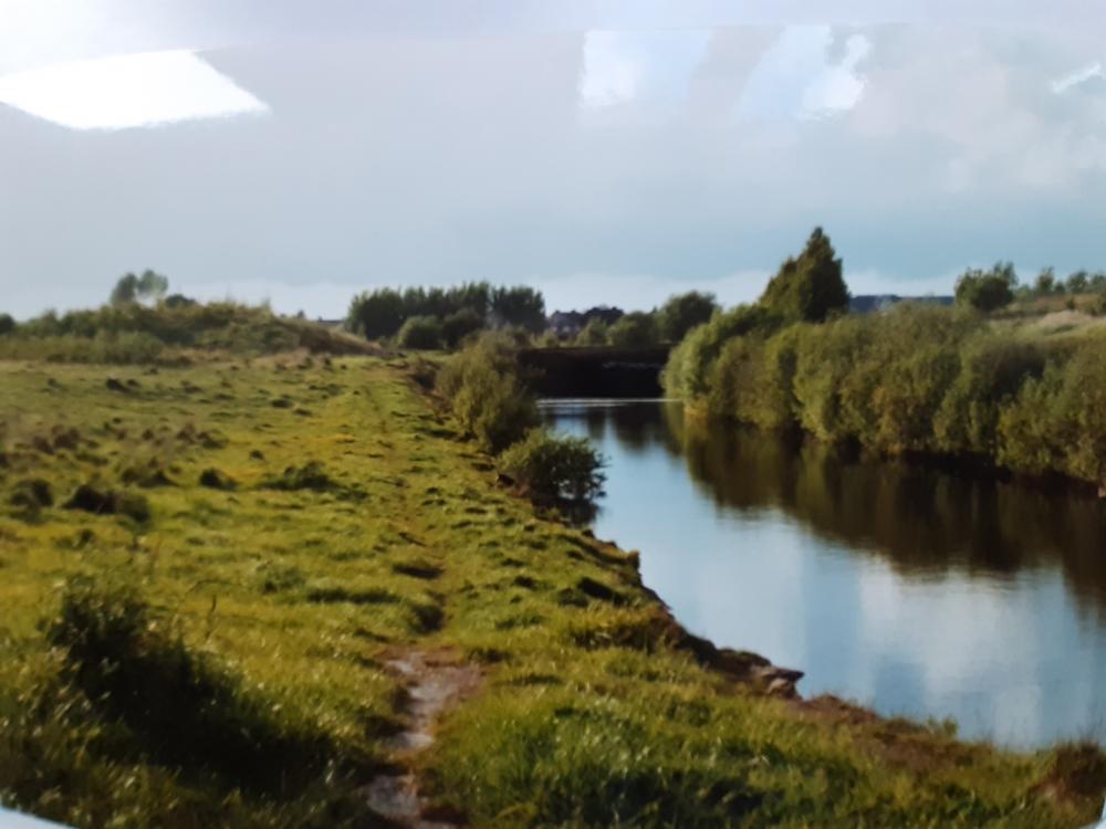
Photo: David BAMFORD
Item #: 32985
Where about is this .
Cindy, this was at one time a railway line to Lower Ince Station .
The line closed around 1964.
Thanks Garry I thought it looked familiar, I remember there used to be a pump house between the railway bridge that crossed over the line & the platform for Lower Ince Station, Even before the line closed it was prone to flooding.
Correct Cindy.
The Pemberton loop line crossed over this section where the bridge is now and Lower Ince station is further up the track.
Not quite correct, Garry - the Pemberton Loop Line crossed just in front of the bridge - which is actually part of a triangular double bridge on the Springs Branch Line - carrying the main branch line, seen here, but also the line off to pits and works to the east of Lower Ince Station.
I've sent a map of the area to the Album so that you can get a clearer picture.
Incidentally, I took some pics of this sunken railway and they were used in an April Fool spoof in a waterways magazine about the long forgotten Hindley Branch of the Leeds and Liverpool Canal.
Correct Rev, I remember all three lines in full use. The Pemberton loop over the Springs Branch to Central Wagon co, and then it crossed over the Lower Ince line.
I am sure there was a line that ran into the back of the CWS glass works to bring in raw materials.
Broady, your right, there was a line that went to the CWS works, but originally, it was part of the Whelley loop line from Standish. It split before the Springview cricket club, one line went down past the cricket club and the CWS works and on to Bamfurlong sidings. The other line went down to Ince Moss sidings. I don't know when the loop line was closed.
The railway line at CWS works was a link off the whelley loop that was lifted in 1976, but a small section of track still remained from CWS to the WCML until the CWS closed and later demolished. The area is now a housing estate.
You can still see part of the Pemberton line embankment to the left of the photo.