Wigan Album
Hope Street, Wigan
2 Comments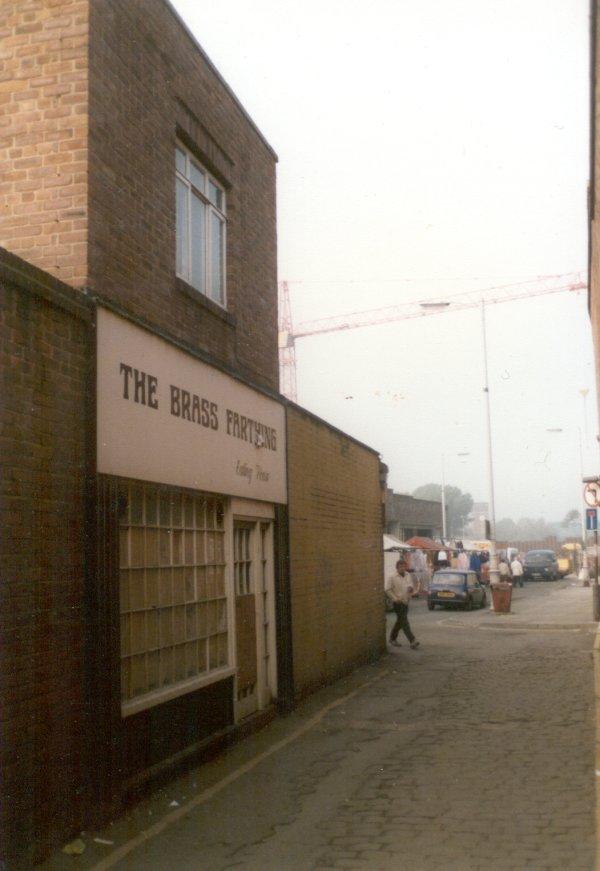
Photo: Paul Green
Item #: 1274
Nice one Paul forgot all about the Brass Farthing
After viewing a very old map of Wigan, I only recently discovered that this alleyway from Standishgate is the real start of Hope Street long before Mesnes Street and Market Street existed.
Hope Street then extended all the way to what is now New Market Street which in those days was all fields.
Walking from Standishgate on the left hand side, roughly where the Market Hall would be built was the original Independent Chapel with fields at the back. All that land on the left hand side upon which the Market Hall, Market Square and the Bus Station was built and now again spare land following the demolition of the Gallery's Shopping Centre was known as Boothers Croft and on the far side underneath what is now Market Street there was a Bowling Green.
What was the Bluecoat School in Hallgate is on the map at this time but known then as The National School.
At the bottom of what we knew as The Commercial Yard was the Cloth Hall but as Market Street had yet to be built this was very much a cul-de-sac.