Wigan Album
Wigan Flood Alleviation (FAS) Phase 1&2.
5 Comments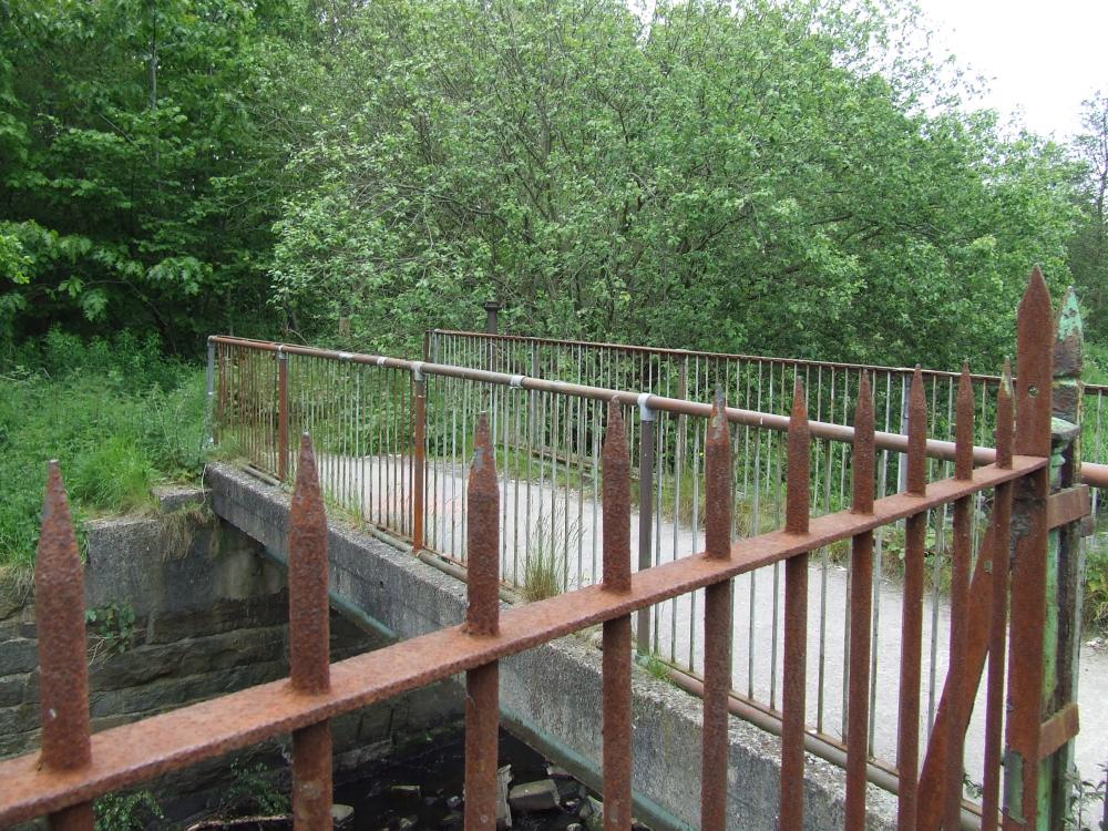
Photo: Sir Bob
Item #: 31655
That's the one! When you got to the other side it was a very clear path, there was always people walking along there, it's very overgrown, awful.
Is thier anyone who lived in the potteries remember did this bridge have a name.
Looking at some old OS maps on line (25" map 1929) and it shows that a bridge spanned the river at this spot carrying the Winstanley Colleries Railway to the canal at Wigan Pier. Alongside the line stood the Central Tramway Depot which became Wigan Corporation Bus depot and when I was involved in the FAS scheme 2007 First Bus Group occupied the building. I wonder if there are any old photographs showing the rail line.The wooded area in the photo was named Parson's Meadow in the 20's.
Barrie if you were involved with this new footbridge is there anyway you could find out if this bridge had a name if it was used to transport coal to wigan pier.
it would appreciated if you could.
As far as I can ascertain, there was no name given to this bridge but delving back through old maps on line, the original bridge show in 1849 that is was wooden and by 1929 that had changed but still part of the Colleries railway to Wigan Pier. By 1947 the track had been removed, Maybrick Street was built on the line of the track and the bridge was part of the footpath.Possible it was reconstructed as shown in the photograph. The bridge further upstream (on the bend leading to Fourteen Meadows Road is marked on the maps as Parson Meadow Bridge.The one downstream is marked Adams Bridge and the railway Viaduct has no name.Until 2007, I had never visited this area of Wigan before on foot.